
SiteRF turns a scaled two-dimensional plan into an explicit RF model. A useful first project does not need to be elaborate: one calibrated floor, one access point, a few RF boundaries, and a clear coverage target are enough to establish the workflow.
1. Create a project
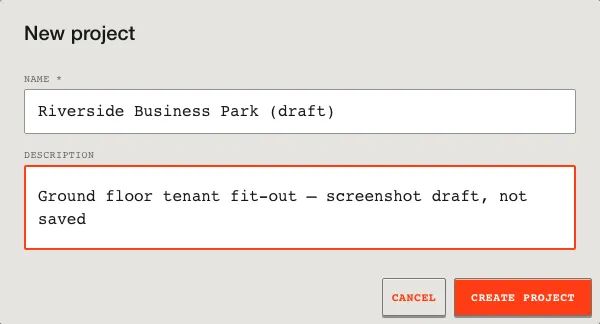
After signing in, choose New project and give the site a name that will still make sense when it appears in an exported report. The project stores the plan, placed equipment, simulation settings, and report configuration together.
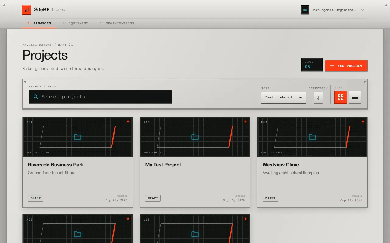
2. Import and calibrate the floorplan
Import an ASCII DXF drawing. Review the detected units and geometry before accepting it. If the source drawing has unknown units, measure a known span—such as a corridor width or exterior wall—and enter its real length. This calibration determines every propagation distance in the model.
See Import and calibrate floorplans for supported geometry and failure handling.
3. Mark RF boundaries
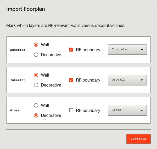
Not every line in a CAD drawing is a wall. Keep layers that describe relevant physical boundaries and mark them as RF boundaries. Assign a material deliberately. An unassigned boundary uses the documented unknown-material behavior; a named but unrecognized material must be corrected before the solver runs.
4. Place equipment
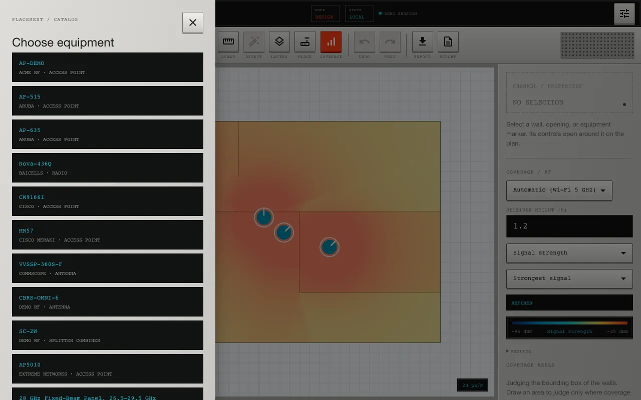
Choose an access point, radio, or antenna from the catalog and place it on the plan. Confirm its mounting height, enabled radios, frequency or channel, transmit power, antenna gain, and orientation. Catalog values retain their source information; project overrides belong to the placement.
Read Place and configure RF equipment before overriding manufacturer defaults.
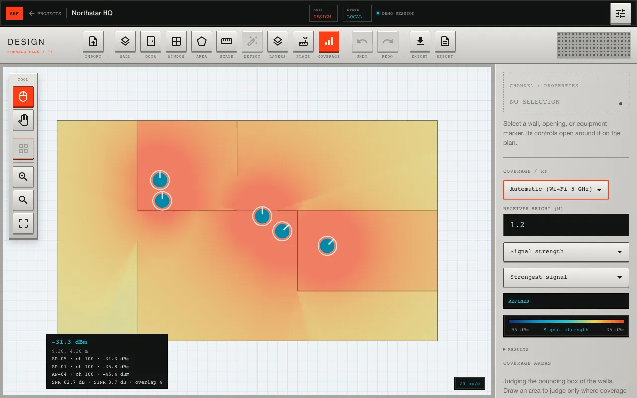
5. Calculate and inspect coverage
Select the band or scenario you want to evaluate, then calculate coverage. Start with signal strength and its dBm legend. Use SNR, SINR, overlap, and dead-zone views only after their receiver and threshold assumptions match the design question.
The map is a planning estimate. Check that the displayed model, units, receiver height, and out-of-range diagnostics are appropriate before treating a color as a conclusion. Calculate and read coverage explains each view.
6. Prepare the report
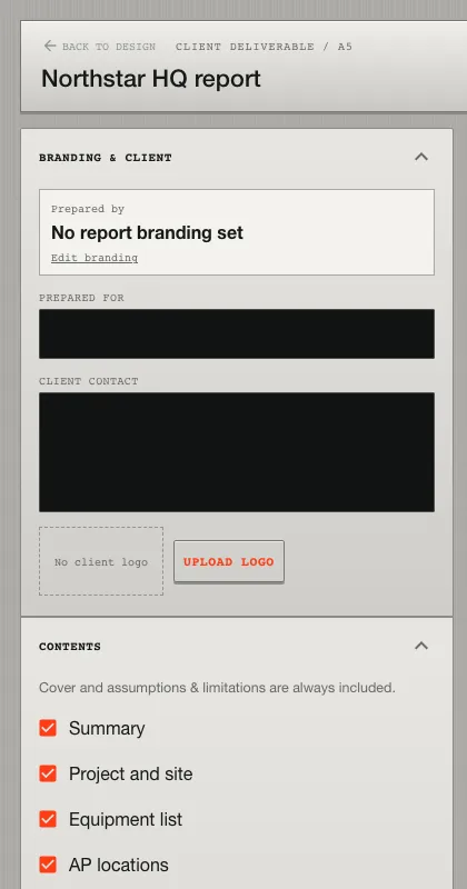
Open the report workspace, select the relevant scenarios and metrics, review generated findings, and edit the recommendations for the actual site. Exported reports can include project context, equipment, locations, coverage maps, assumptions, and recommendations.
Finish with Export client-ready reports.
A reliable first-project checklist
- The plan scale matches a known real-world dimension.
- Only physical boundaries that affect RF are enabled.
- Materials and openings are explicit.
- Equipment radios and antennas are compatible with the selected band.
- Receiver height and coverage thresholds match the intended clients.
- Coverage is validated with field measurements before installation acceptance.
If you want to understand the math before building a project, start with the free-space path loss calculator and the indoor path-loss guide.
Prefer to drive SiteRF from Claude, ChatGPT or another agent? See Connect an AI agent to SiteRF.